


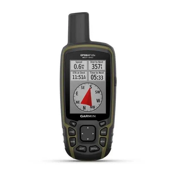
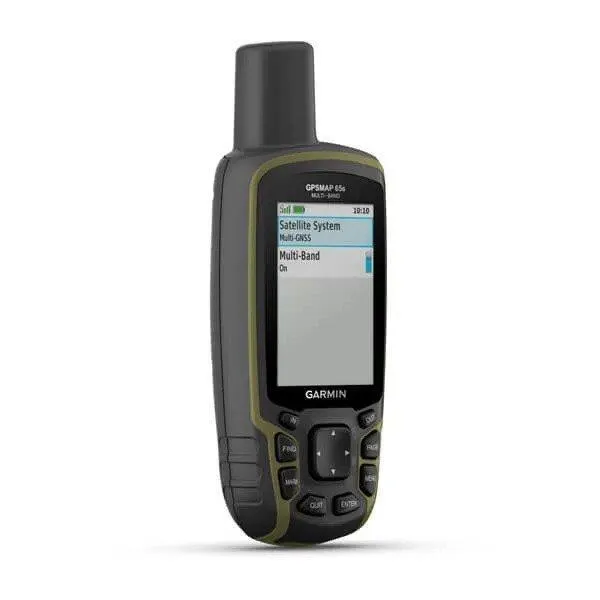
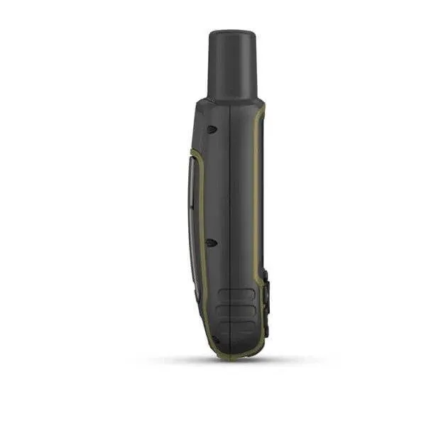
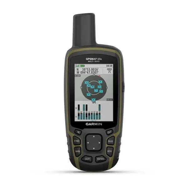

Garmin GPSMAP 65s
Description
Accurate Navigation Wherever the Trail Leads
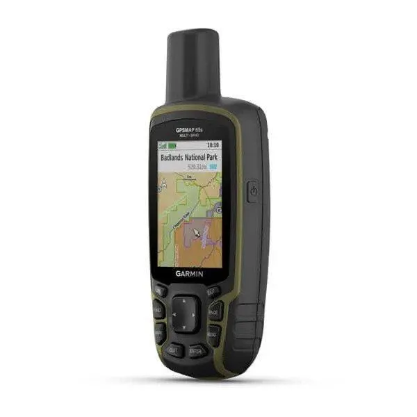
The GPSMAP 65s is built for users who need dependable positioning in environments where navigation can be challenging. By combining support for multiple GNSS constellations with multi-band satellite reception, it improves accuracy in areas where satellite signals are often obstructed, such as forests, canyons, and rugged mountain terrain.
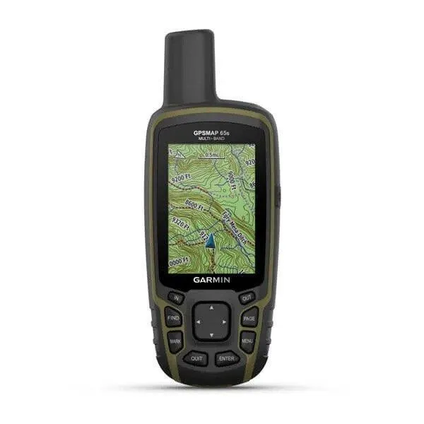
Preloaded TopoActive maps provide routable roads, trails, terrain contours, waterways, and points of interest, allowing users to confidently plan routes and navigate unfamiliar areas without relying on a mobile phone.
Built for the Outdoors
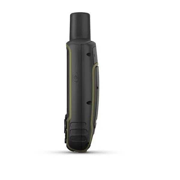
Designed for demanding outdoor use, the GPSMAP 65s features a rugged housing with an IPX7 water-resistant rating and physical buttons that remain easy to operate while wearing gloves or in wet conditions. Its sunlight-readable 2.6-inch color display ensures maps and navigation information remain visible in bright outdoor environments.
Powered by two standard AA batteries, the device provides up to 16 hours of operation, making it practical for full-day hikes, extended hunting trips, and field operations where charging opportunities may be limited.
Advanced Navigation Features
Beyond basic positioning, the GPSMAP 65s includes several sensors designed to improve navigation and situational awareness. The built-in electronic compass provides heading information even while standing still, while the barometric altimeter helps monitor elevation changes and can assist with weather trend observation.
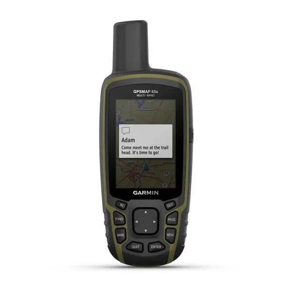
The device also supports wireless connectivity for sharing waypoints, routes, and tracks with compatible Garmin devices, while pairing with the Garmin Explore™ app makes it easy to manage trips, review recorded activities, and synchronize data between devices.
Ready for Adventure and Professional Fieldwork
The GPSMAP 65s is suitable for a wide variety of outdoor and professional applications, including:
- Hiking and backpacking
- Hunting and fishing
- Mountaineering
- Search and rescue
- Forestry and conservation
- Surveying and field inspections
- Overlanding and off-road navigation
- Outdoor recreation
Its combination of accurate positioning, rugged construction, and detailed mapping makes it a dependable navigation tool for users working or exploring far from established infrastructure.
Features
- Multi-band GNSS reception
- TopoActive maps included
- 3-axis electronic compass
- Barometric altimeter
- BirdsEye imagery support
- IPX7 water resistant
- AA battery powered
- Bluetooth and ANT+
Package
Garmin GPSMAP 65s Includes:
- Garmin GPSMAP 65s handheld GPS
- USB cable
- Carabiner clip
- Documentation
Technical Specifications
Display
- 2.6-inch sunlight-readable color display
- 160 × 240 pixels
- Transflective TFT
Dimensions
- 2.4 × 6.3 × 1.4 in (6.1 × 16.0 × 3.6 cm)
Weight
- 7.6 oz (215 g) with batteries
Durability
- IPX7 water resistant
- MIL-STD-810 thermal, shock, and vibration tested
Included
- Preloaded TopoActive maps
- Electronic 3-axis compass
- Barometric altimeter
- Waypoints: 5,000
- Routes: 200
- Track log: 10,000 points
- Saved tracks: 250
- BirdsEye Direct satellite imagery support
Battery
- 2 × AA batteries (NiMH or Lithium recommended)
- Up to 16 hours battery life
Additional
- Garmin Explore™ compatible
- Geocaching support
- Smart notifications (with compatible smartphone)
- HuntView™ maps compatible
- Custom maps support
- Automatic routing (with compatible maps)
Data Network
- Multi-band GNSS reception
- GPS
- GLONASS
- Galileo
- QZSS
- IRNSS (NavIC)
Memory
- 16 GB internal memory
- microSD™ card slot
Interfaces
- USB
- Bluetooth®
- ANT+®
- microSD card slot
