


Satellite Internet & Communication Equipment & Devices


Best Sellers


Welcome to the Satellite Phone Store Purchase Catalog!
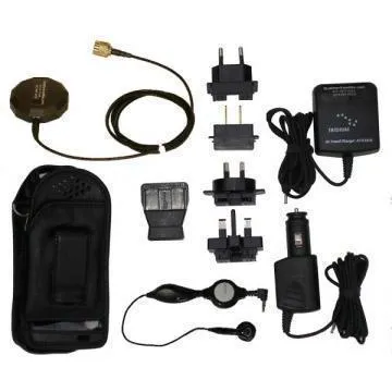
- All items come as complete, ready-to-use kits with either an active or inactive satellite SIM card, essential accessories, and user-friendly instruction manuals.
- Every product is fully tested and 100% verified to function properly before shipping. Our extra quality control step ensures maximum satisfaction and reliability.
- Your order ships the same day and arrives on time. You’ll have plenty of time to learn how the equipment works. Need help? Our expert support team is available by phone or chat to guide you step-by-step.
How to Place an Order
Order by Phone: Call us at 1-877-943-6383 to speak with a satellite communication expert. We’ll help you purchase a satellite phone that fits your needs and budget. You’ll also get access to exclusive phone-only deals and promotions.
Order Online: Browse our catalog, find the product you want, and click the “Buy” or “Buy With Service” button. You’ll be redirected to your cart, where you can complete your purchase or continue shopping. In the cart, you can also add:
- A USA phone number ($10/month)
- Rollover minutes ($10/month)
Order via Live Chat: Use our secure online chat system to connect with a representative. Just describe your needs and we’ll help you build the perfect solution in real time.
Not sure what you need? Call us and we’ll recommend the best, most affordable and reliable satellite communication solution for your specific use case—whether it’s for travel, emergency preparedness, marine use, or global business operations.
Where Can I Buy a Satellite Phone?
If you’re wondering “where do you buy a satellite phone?” or “where can I buy satellite phone accessories?”—you’re in the right place. Satellite Phone Store is a trusted provider of satellite phones for sale, offering both new and certified pre-owned models from top brands.
We carry:
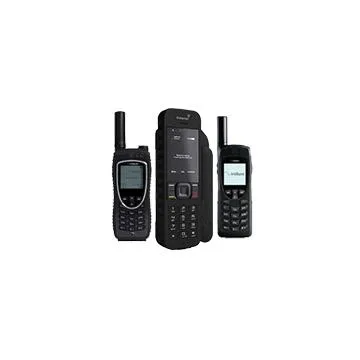
- Iridium Satellite Phones
- Inmarsat Satellite Phones
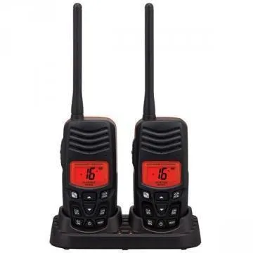
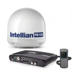
- Marine satellite phones with waterproof and salt-resistant designs
Order via Live Chat: Use our secure online chat system to connect with a representative. Just describe your needs and we’ll help you build the perfect solution in real time.
Not sure what you need? Call us and we’ll recommend the best, most affordable and reliable satellite communication solution for your specific use case—whether it’s for travel, emergency preparedness, marine use, or global business operations.
Where Can I Buy a Satellite Phone?
If you’re wondering “where do you buy a satellite phone?” or “where can I buy satellite phone accessories?”—you’re in the right place. Satellite Phone Store is a trusted provider of satellite phones for sale, offering both new and certified pre-owned models from top brands.
We carry:
- Iridium Satellite Phones
- Inmarsat Satellite Phones
- Marine satellite phones with waterproof and salt-resistant designs
- Globalstar Satellite Phones
Whether you need a phone for offshore sailing, remote expeditions, or emergency backup, we have the right device and plan for you. You can buy a satellite phone outright or choose from flexible rental options.
Click here to view our satellite phones for sale
Compare Satellite Phones
| Feature | Iridium 9555 | Iridium Extreme 9575 | Inmarsat IsatPhone 2 | Globalstar GSP-1700 |
|---|---|---|---|---|
| Global Coverage | Yes | Yes | Mostly (Excludes polar regions) | No (North America only) |
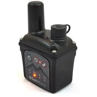
| GPS Tracking | No | Yes, Built-in SOS | Yes | No |
| Battery Life | 4 hrs talk / 30 hrs standby | 4 hrs talk / 30 hrs standby | 8 hrs talk / 160 hrs standby | 4 hrs talk / 36 hrs standby |
| Durability | Standard | MIL-STD 810F / IP65 | IP65 / Ruggedized | Basic |
| Best For | General use, emergency backup | Military, remote expeditions | Travelers, global business | North America travelers |
| Price Range | $1,195 – $1,395 | $1,495 – $1,695 | $749 – $899 | $499 – $599 |
| Buy Now | Buy Iridium 9555 | Buy Iridium 9575 | Buy IsatPhone 2 | Buy GSP-1700 |
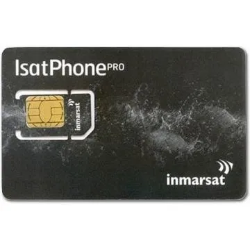
Satellite SIM Cards & Airtime Plans
All phones come with a satellite SIM card—either active or ready to activate. We offer prepaid and postpaid airtime plans with global coverage. You can also add voice, text, and data packages tailored to your usage.
Need a SIM-only option? We sell standalone satellite SIM cards for Iridium, Inmarsat, and Globalstar networks. These are perfect if you already own a device and just need to activate service.
Benefits of our airtime plans:
- No contracts required
- Flexible monthly or prepaid options
- Global coverage in over 190 countries
- Add-on services like rollover minutes and U.S. phone numbers
Explore satellite SIM card options
Frequently Asked Questions
How do I get reception on a satellite phone?
You must be outdoors with a clear view of the sky. Buildings, trees, or mountains can block the signal. Once powered on, the phone will search for service and register on the satellite network. After that, you’re ready to make and receive calls.
Will I get reception anywhere in the world?
Yes. As long as you have a clear view of the sky and your satellite phone is registered, you’ll have service from virtually anywhere on Earth.
What happens if I exceed my airtime minutes?
No worries—your phone stays active. If you go over your prepaid minutes, you’ll simply be billed at the standard per-minute rate. We never shut off service or interrupt your connection.
How long does the satellite phone battery last?
Each rental includes two fully charged batteries. Expect up to 3.5 hours of talk time and 19 hours of standby. If you power the phone on only when needed, a single battery can last up to a week.
How fast is satellite internet?
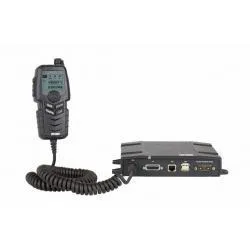
BGAN terminals offer speeds from 200 kbps to 650 kbps. The new Inmarsat Global Express network delivers up to 4 Mbps upload and download using a portable GX terminal.
Can I live stream using satellite internet?
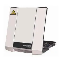
Yes! The Explorer 710 BGAN supports live streaming at 650 kbps. For higher bandwidth, the Cobham GX 5075 streams at up to 4 Mbps.
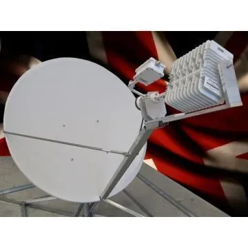
Are satellite internet terminals mobile or stationary?
BGAN terminals are typically stationary and must be placed on a flat surface with a clear line of sight to the satellite. However, marine satellite internet terminals and vehicle-mounted mobile BGAN units offer automatic satellite tracking—even at speeds up to 130 mph.
Why Buy from Satellite Phone Store?
- Trusted by government agencies, first responders, and global travelers
- Competitive pricing on all satellite phones for sale
- Expert support before, during, and after your purchase
- Same-day shipping and fast delivery
- Flexible plans and rental options
Whether you're looking to buy a satellite phone for emergency use, offshore sailing, or international travel—we’ve got you covered.
Browse our full catalog and purchase your satellite phone today
Still have questions? Call us at 1-877-943-6383 or connect via live chat. We’re here to help you stay connected—anywhere, anytime.
